Half-Breed Tract
Text
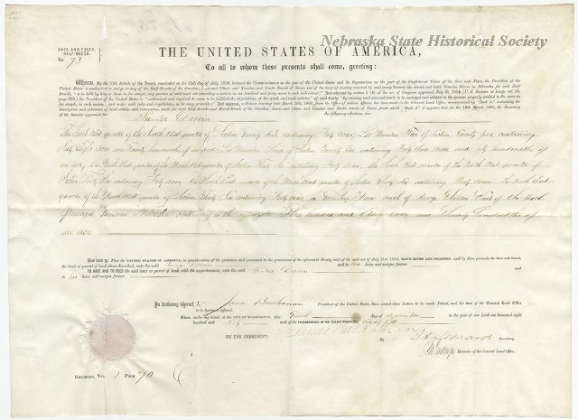
It was an accepted custom for many early fur traders to marry into Indian tribes. As the Indians ceded their lands, the rights of the half-breed descendants were not always identified. This situation was recognized by the government in 1830, by the Prairie Du Chien Treaty which set aside a tract of land for the half-breeds of the Oto, Iowa, Omaha and Santee Sioux tribes.
This tract was located between the Great and Little Nemaha Rivers. In 1838, the land was surveyed by John C. McCoy, who placed the western boundary eight miles west of the river instead of ten miles as specified. This caused problems, as later white settlers were to settle on Indian lands west of McCoy's line. Congress ordered the land resurveyed, and in 1858 the McCoy line was made official. On September 10, 1860, Louis Neal received the first patent.
The owners were never required to live on their property and many eventually sold their lands to whites. One of the original survey lines is now partly identified by the Half-Breed Road which runs in a southeast direction from here. The descendants of some pioneer fur traders still live in the area.